
Low Kop - Lake District Walk
Wednesday 10th November 2021
With the weather forecast looking good for today we debated doing the Rough Crag walk but knowing that my knee and calf were feeling the effects of our walk into Swindale we thought a walk with a gentler ascent and descent was called for. Instead we opted for a walk up to Low Kop, somewhere we had only visited once before on a grey and gloomy day.
Start: Burnbanks (NY 5082 1612)
Route: Burnbanks - Measand Beck - Low Kop - Bampton Fell - Burn Banks - Burnbanks
Distance: 5.75 miles Ascent: 482 metres Time Taken: 4 hrs 40 mins
Terrain: Clear paths
Weather: Sunny start, clouding over as the day progressed
Pub Visited: Haweswater Hotel Ale Drunk: Black Sheep Bitter
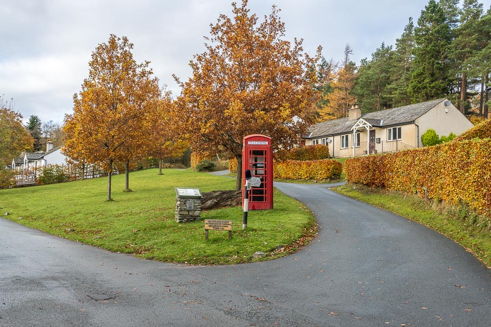
After dropping some money into the honesty box we set out from Burnbanks.
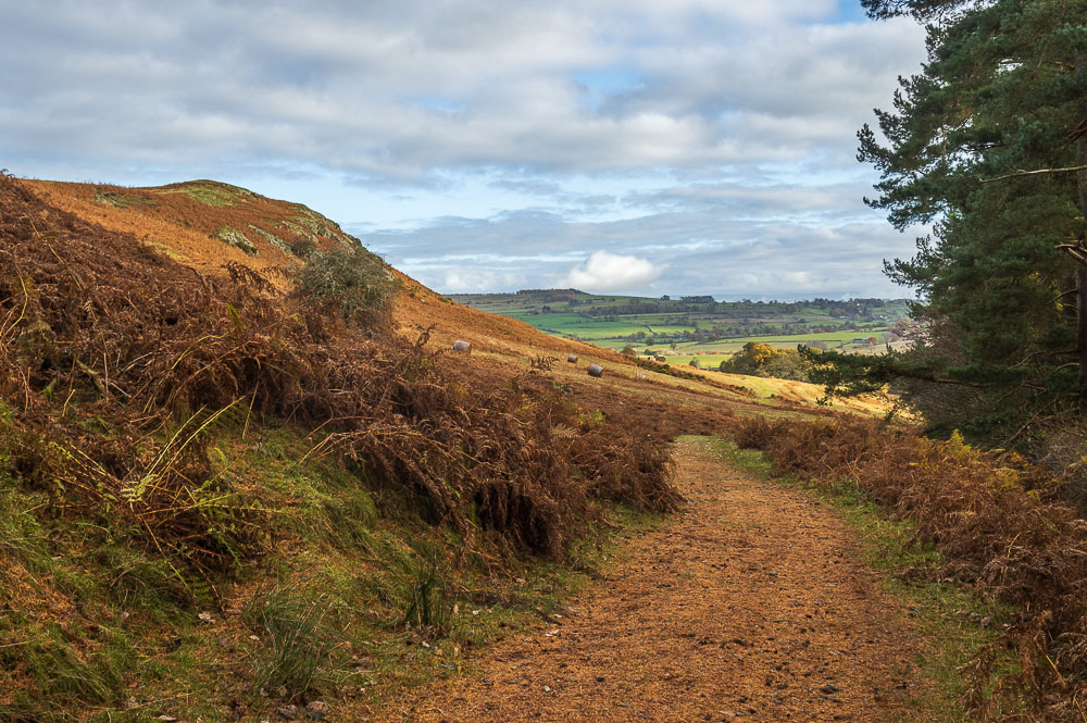
Looking back towards Knipe Scar as we join the path which will take us alongside Haweswater.
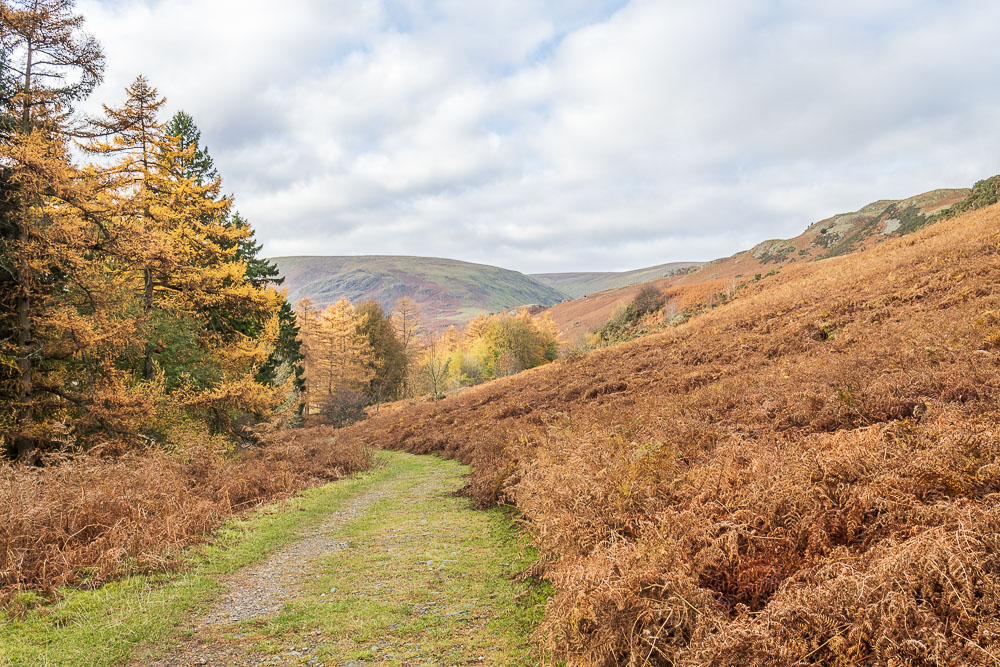
Ahead of us we can see Measand End, which had been one option for today's walk.
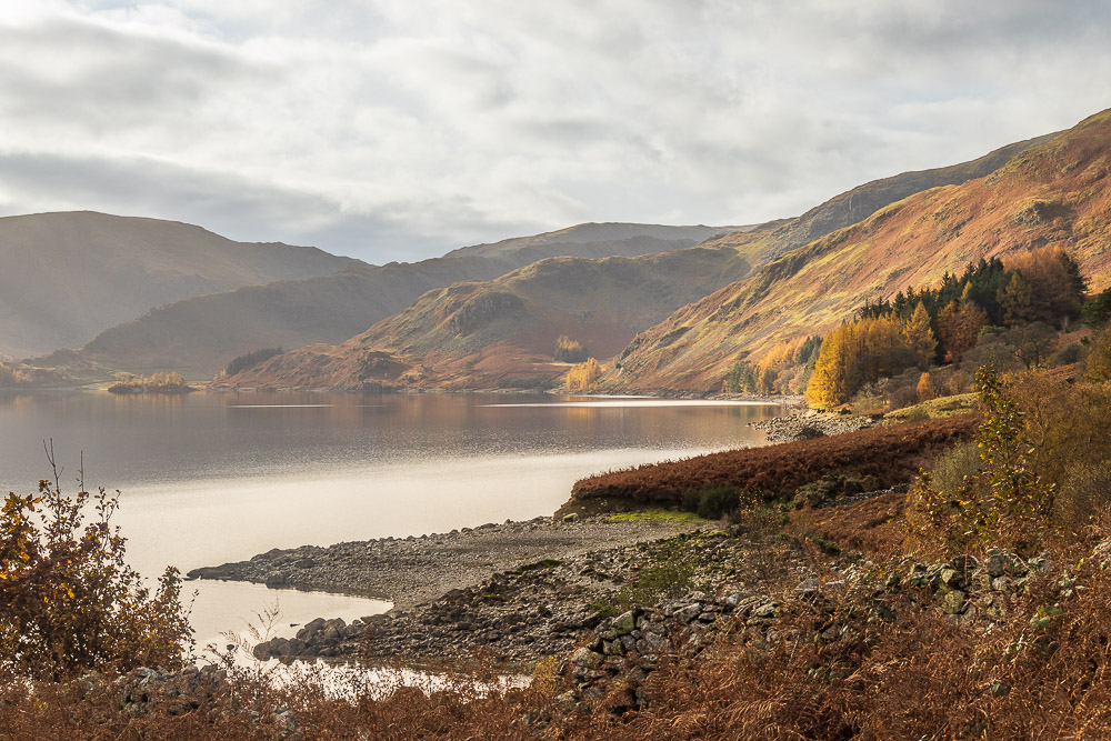
Ahead of us Castle Crag and the Rough Crag ridge.
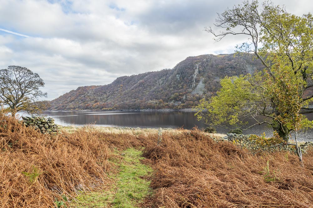
Looking back across the reservoir to Wallow Crag from the same spot.
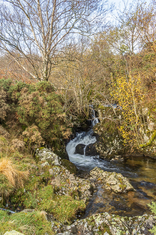
We soon reach Measand Beck, which is the point at which we will start to head uphill.
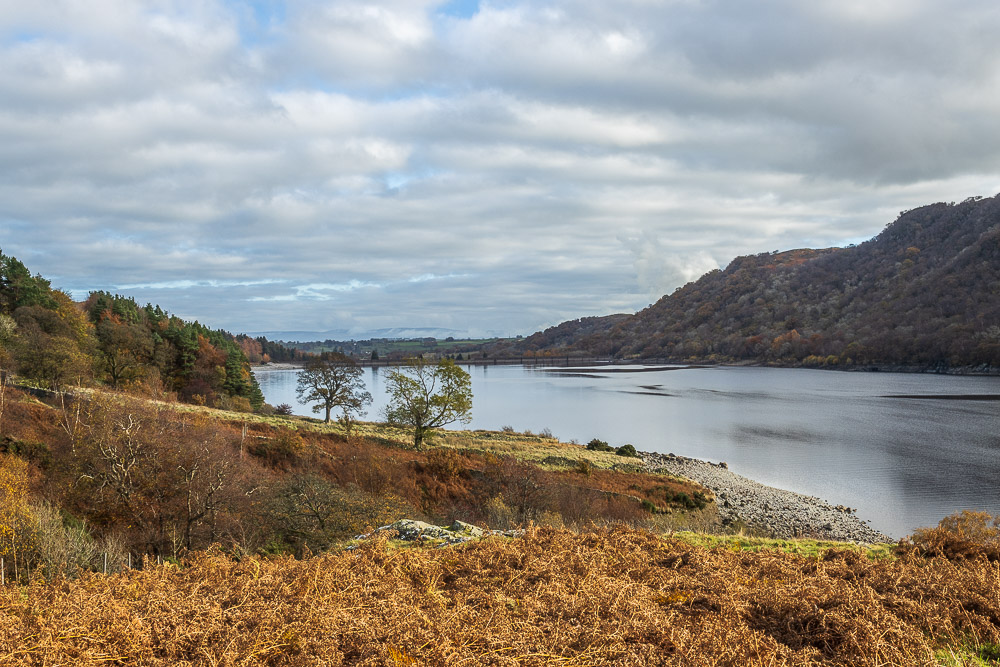
We quickly locate the path running alongside the beck and are soon rewarded with views along the reservoir.
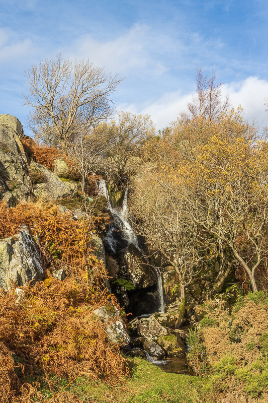
As we climb the various waterfalls mean another 'to do' is added
to my growing list. This time to return with the tripod and
the good camera to capture shots of the falls.
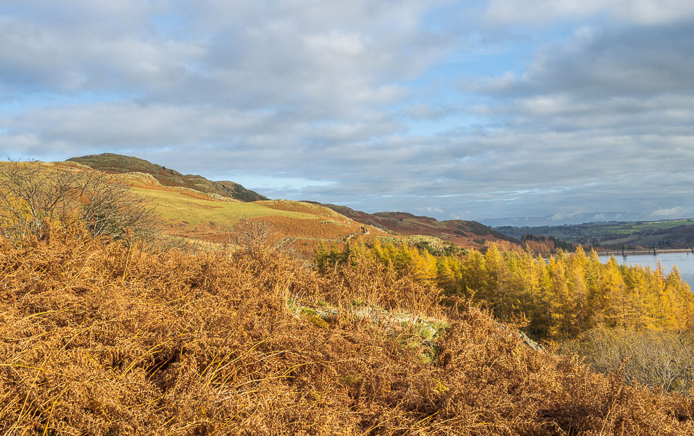
As we climb above the falls Bampton Fell and Four Stones Hill come into view.
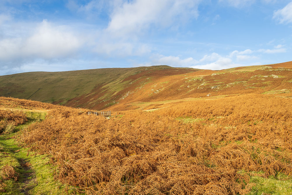
The footbridge, whilst expected, was a welcome sight, as we get our first good look at the route we will take up to Low Kop ahead of us.
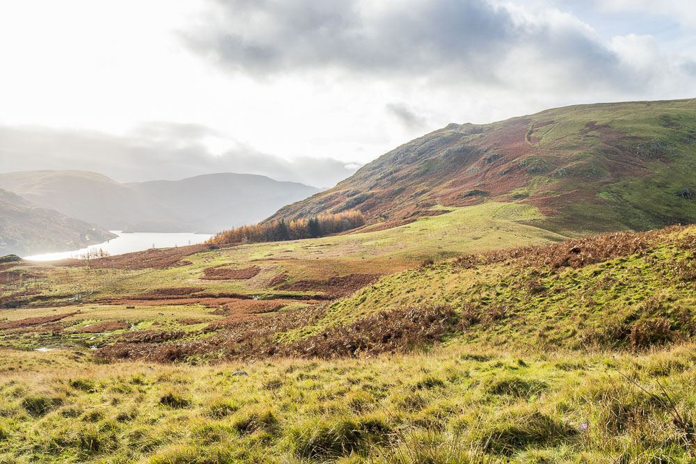
We soon find ourselves looking down at the footbridge and start to realise just how steep Measand End is. One to come down rather than go up maybe.
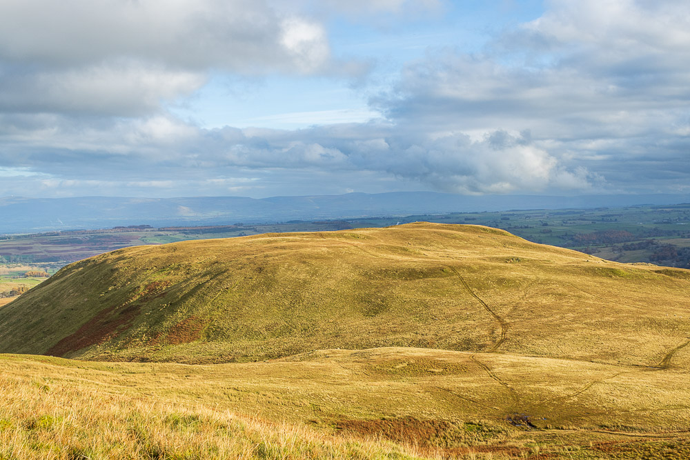
As we reach the first of a couple of false summits we get a view back to Bampton Fell and the distant Pennines. Our route up has followed the track on the right, we will take the track on the left when we head to Bampton Fell.
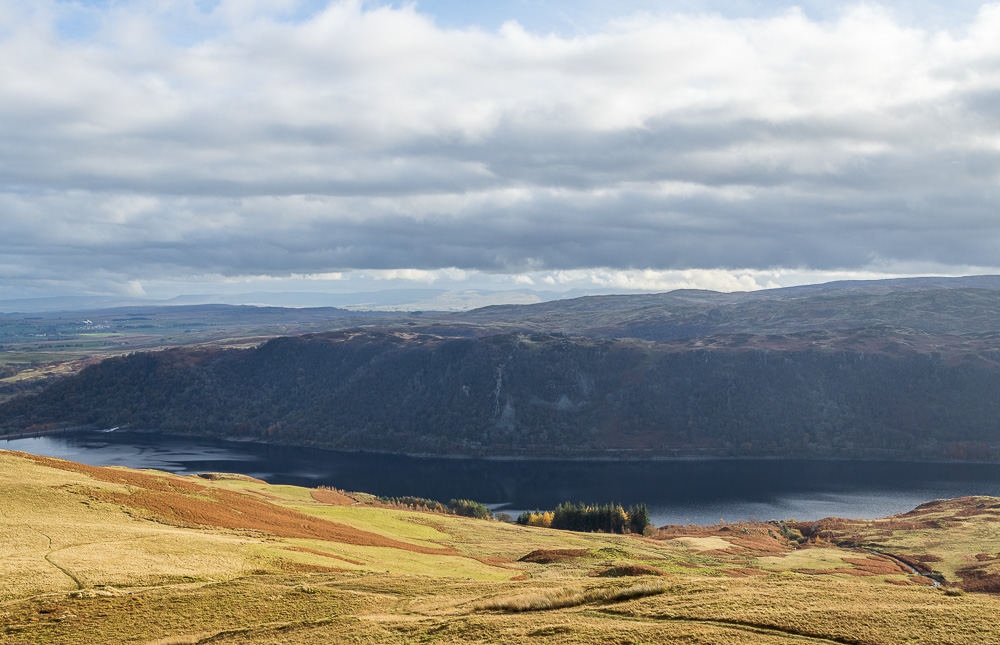
As we climb the view extends across Naddle Forest and Harper Hills to Seat Robert and the Howgills.
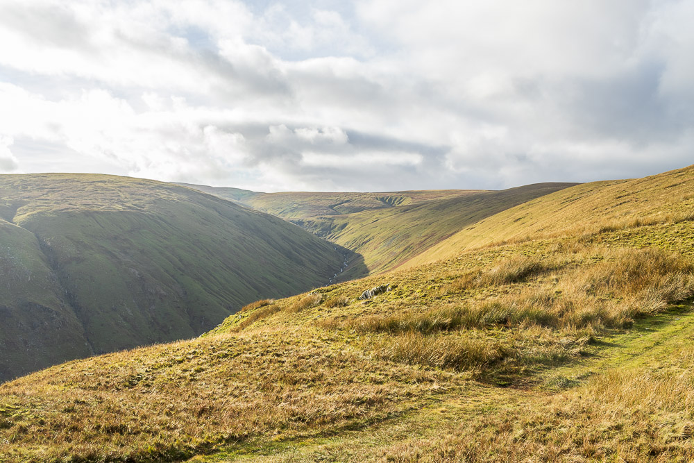
Looking along Fordingale Bottom.
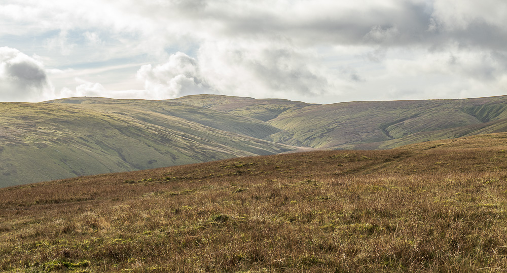
As we approch Low Kop's summit High Raise and Low Raise come into view.
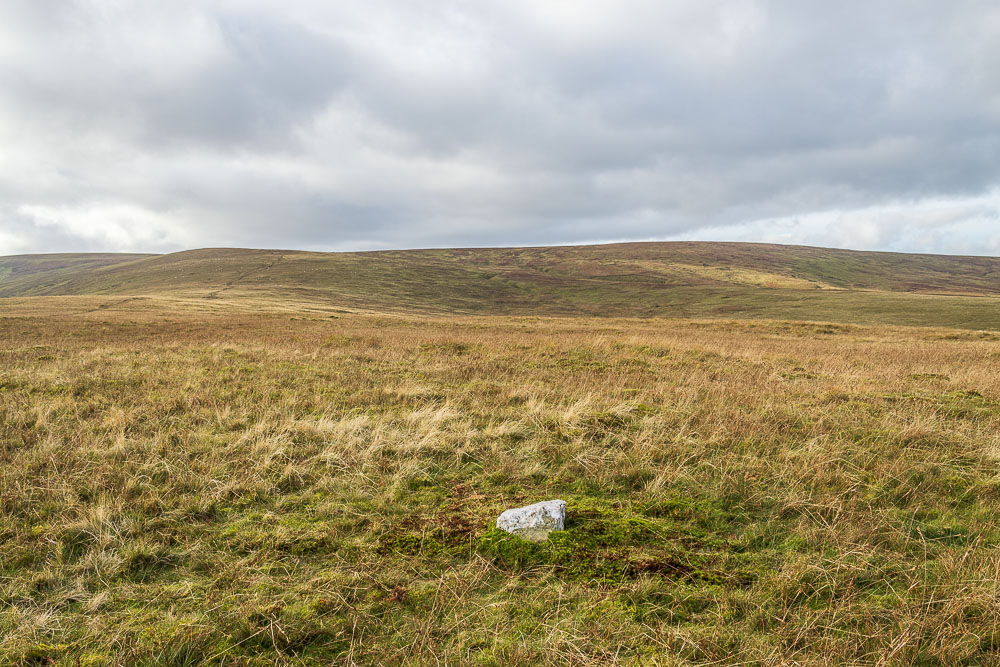
Low Kop's summit is now marked by a stone, clearly a fairly recent addition as checking Paul Sharkey's website confirms it wasn't there in 2019.
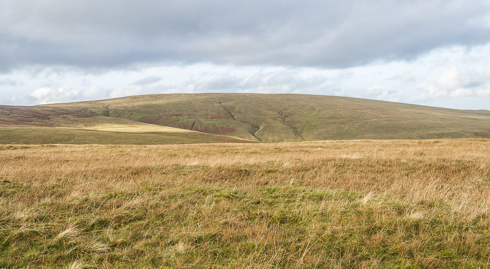
Looking across to Loadpot Hill from the summit it is time to make a decision. Do we carry on to Red Crag and Wether Hill or not?
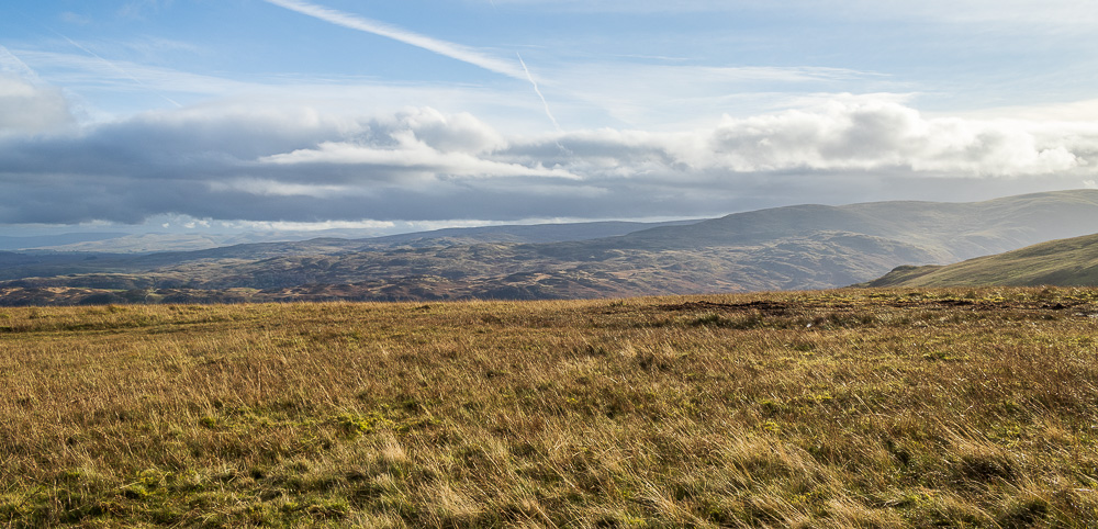
No need to rush making a decision when the views are this good. Here looking towards Selside Pike and the head of Haweswater.
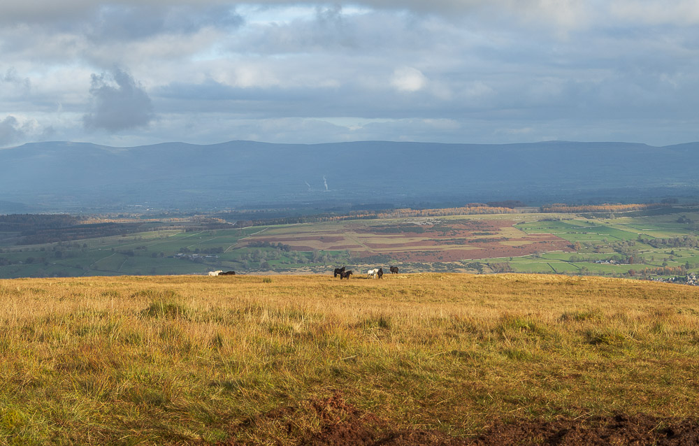
Given our current fitness levels we make the sensible decision and start the descent towards Bampton Fell. The fell ponies we had passed on the way up were still there. A few days later we were to see them again, when we watched the TV programme The Lakes with Simon Reeve.
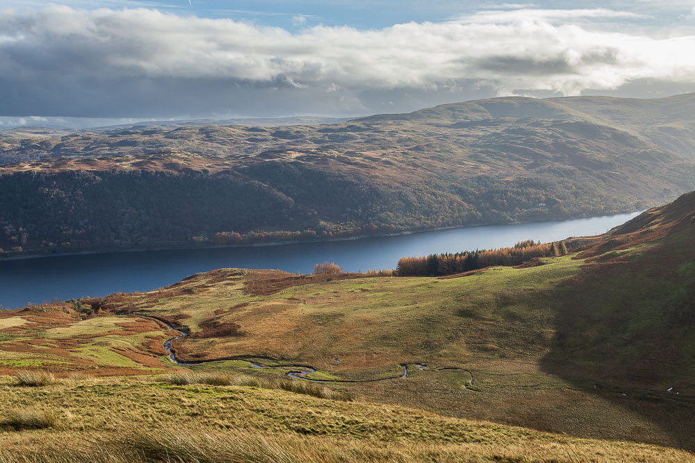
Looking down on Measand Beck and Haweswater as we descend.
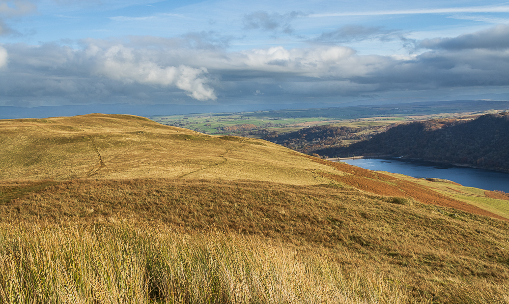
The track heading onto Bampton Fell soon comes into sight.
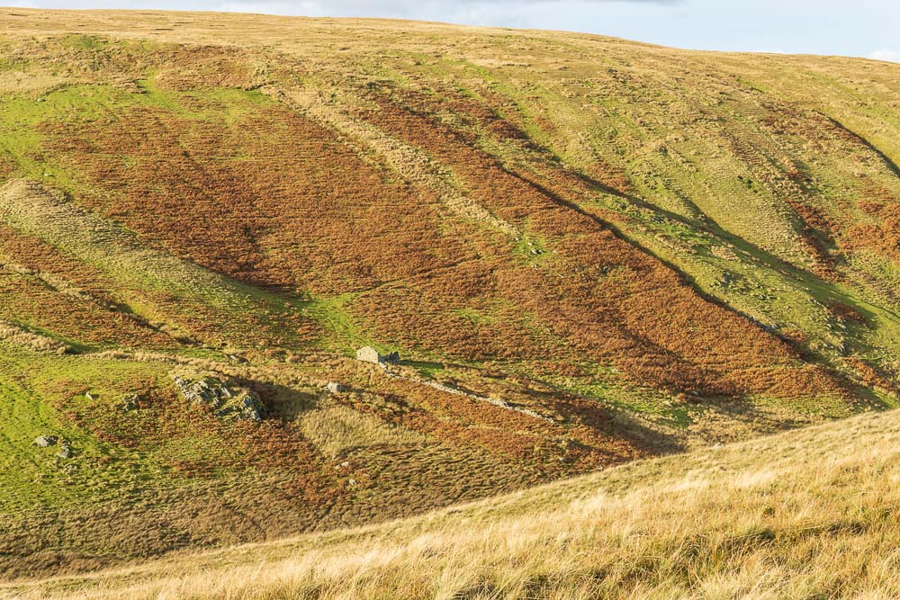
As we head along the track above Willdale I spot what looks like the remains of an old cottage.
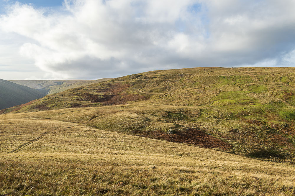
Looking back to Low Kop from our ascent of Bampton Fell, from this angle the numerous false summits are easy to spot.
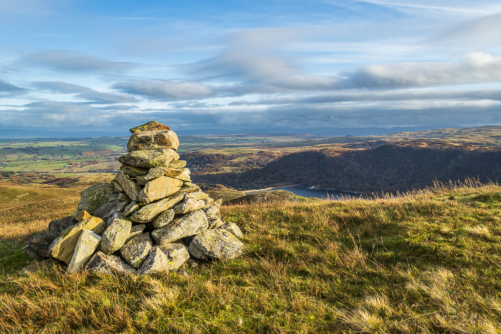
The track we are following doesn't actually go to the summit, but a short diversion off the track brings us to the summit cairn.
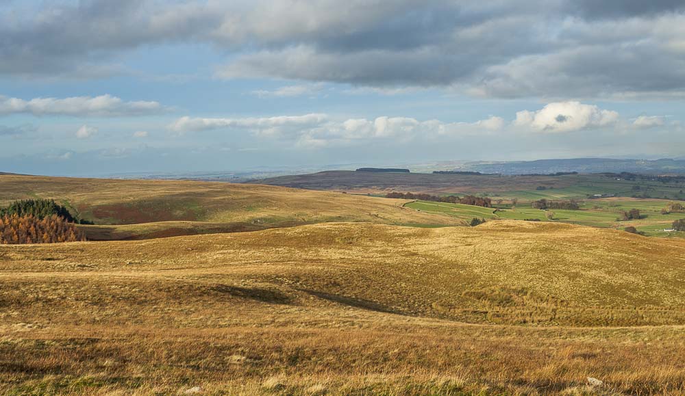
The view north takes in Penrith, along with Askham Fell and Heughscar Hill.
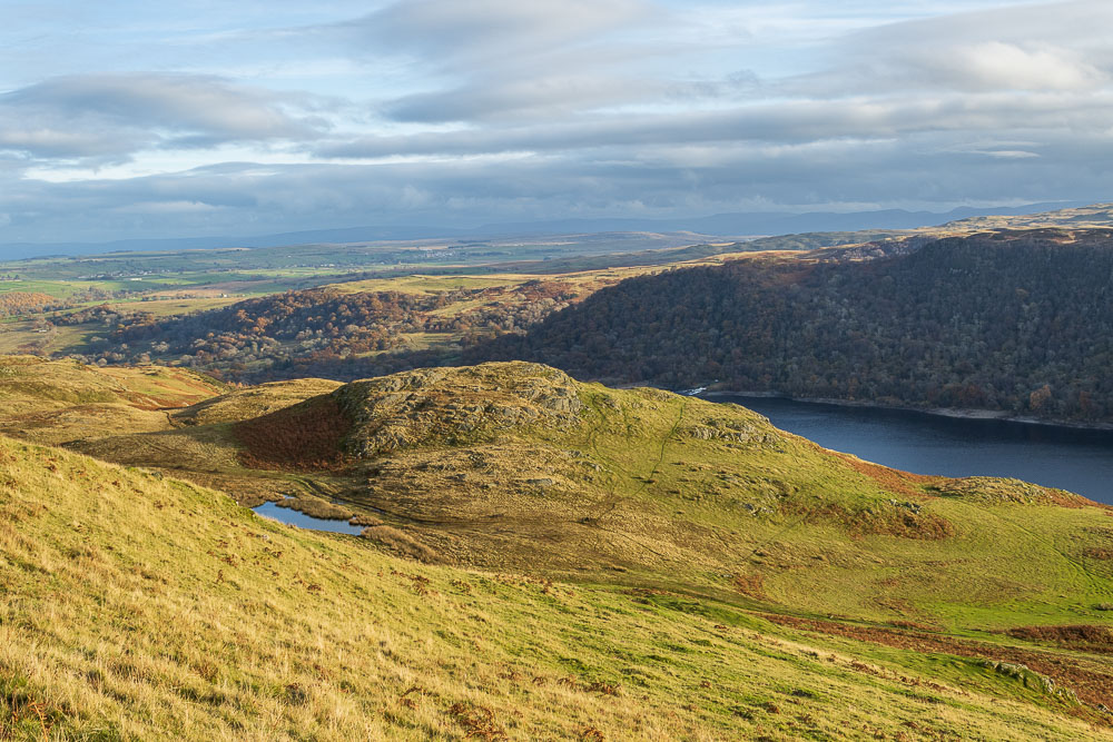
Lunch is taken sat next to the summit looking down on Four Stones Hill and across the reservoir to Scalebarrow Knott.
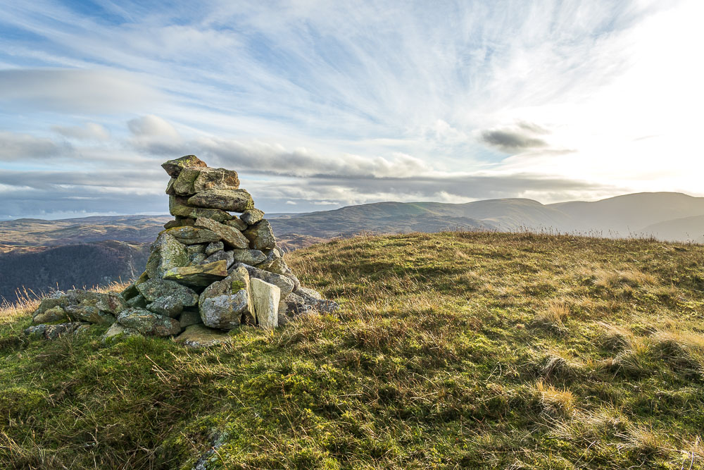
As we leave Bampton Fell we take a final look at the head of the valley.

We pass on climbing Four Stones Hill and instead take our time making our way back to Burnbanks. The tracks around here are numerous and it was more often than not a case of just picking the route we fancied the most.
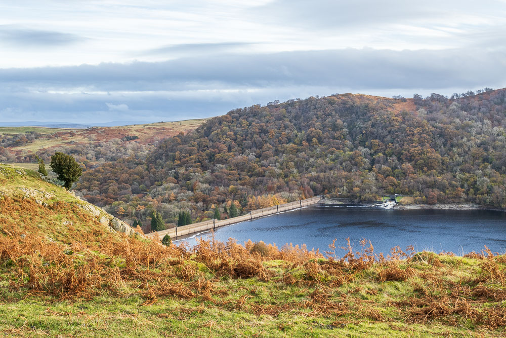
For most of our descent we were able to enjoy a view of the reservoir.
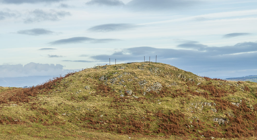
As we wandered through the various hills that make up this area I was looking out for a site we had been discussing with the manager of the Haweswater Hotel the day before.
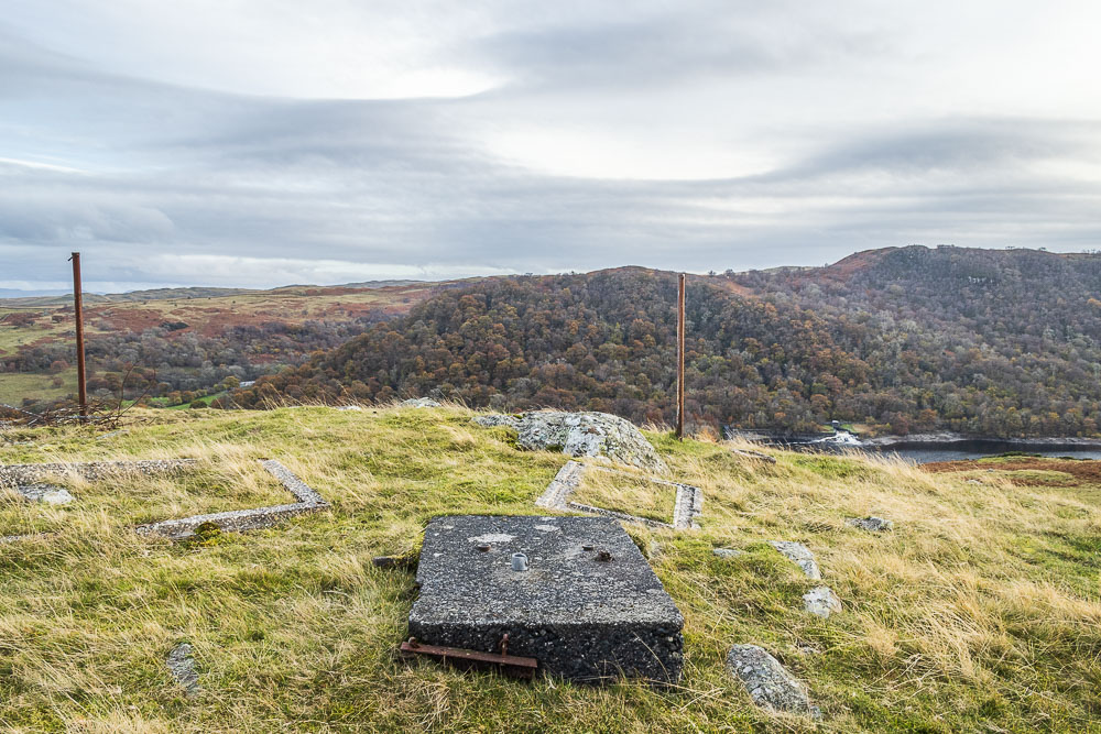
He had mentioned a site on the opposite side of the reservoir, located below Hugh Laithe's Pike, that he had found and cleared which was linked to the building of the dam wall. We think this may be the location of a similar platform used to help put the blocks that made up the dam wall into place. I haven't been able to confirm this story anywhere else, but the locations certainly match up.
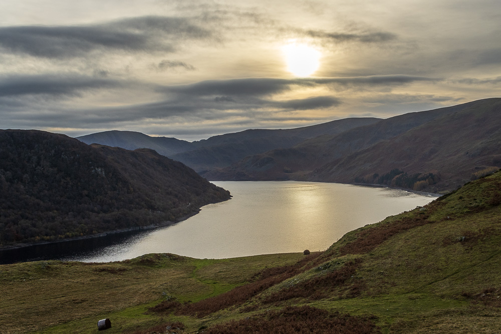
As we have been making our way down it has got noticeably colder as the cloud has started to build.
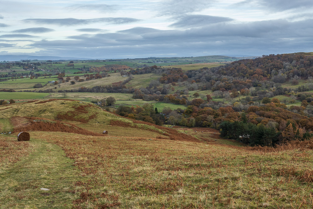
In no hurry we make our way down towards Burnbanks passing the bales of ferns we had looked at a couple of days ago and wonder what they are used for. A gentle meader through the hillocks eventually brings us back to the gate into the trees and the path back to the car.
All pictures copyright © Peak Walker 2006-2023